
File:Canada British Columbia location map 2.svg

此SVG文件的PNG预览的大小:740 × 600像素。 其他分辨率:296 × 240像素 | 593 × 480像素 | 948 × 768像素 | 1,264 × 1,024像素 | 2,528 × 2,048像素 | 2,419 × 1,960像素。
原始文件 (SVG文件,尺寸为2,419 × 1,960像素,文件大小:1.57 MB)
| 描述 |
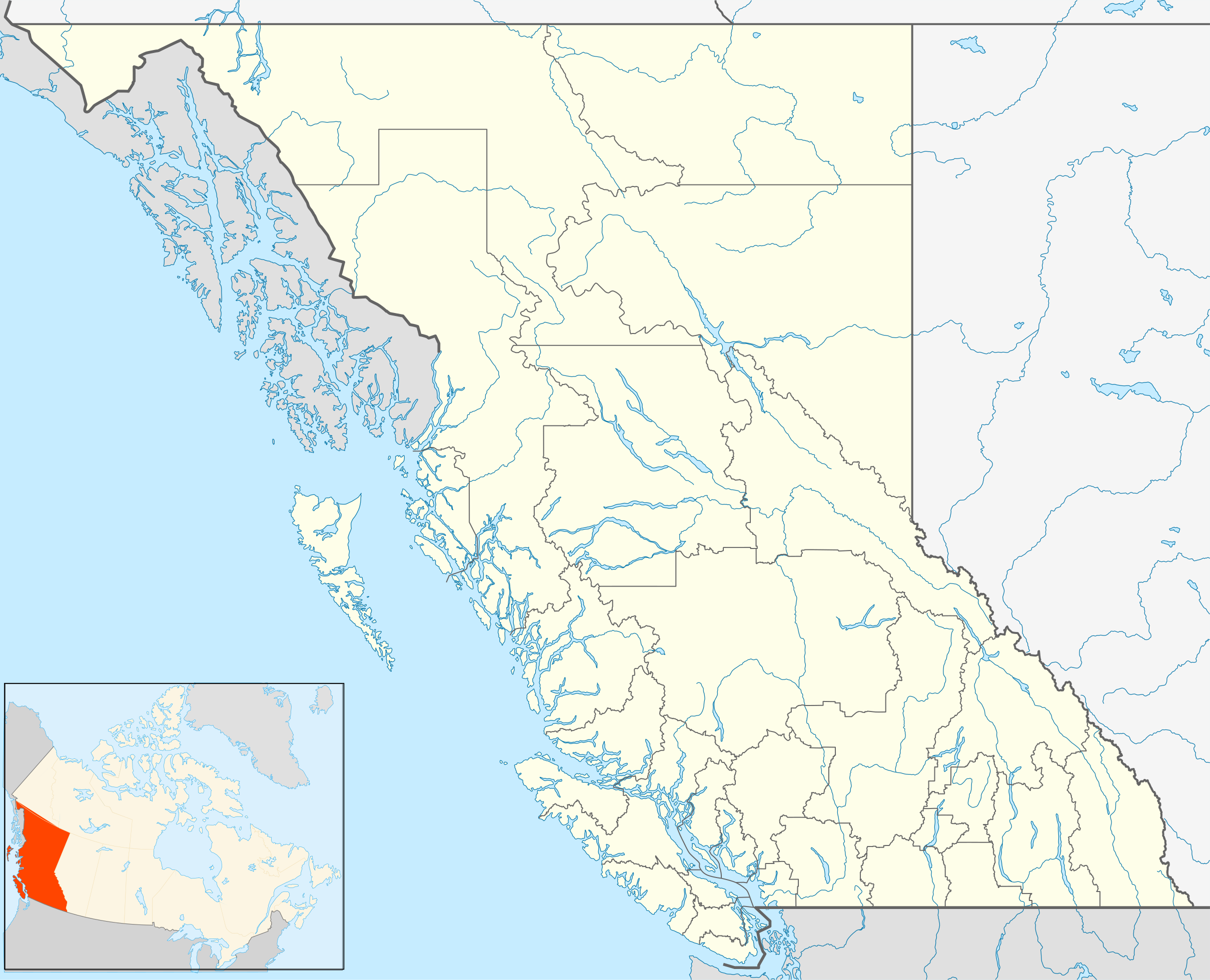
Quadratische Plattkarte, N-S-Streckung 170 %. Geographische Begrenzung der Karte:
Equirectangular projection, N/S stretching 170 %. Geographic limits of the map:
|
| 日期 | |
| 来源 | 自己的作品, File:Canada_British_Columbia_location_map.svg by NordNordWest |
| 作者 | Hanhil (talk) 16:54, 24 September 2009 (UTC) |
| 授权 (二次使用本文件) |
我,本作品著作权人,特此采用以下许可协议发表本作品: 本文件采用知识共享署名-相同方式共享 3.0 未本地化版本许可协议授权。
|
文件历史
点击某个日期/时间查看对应时刻的文件。
| 日期/时间 | 缩略图 | 大小 | 用户 | 备注 | |
|---|---|---|---|---|---|
| 当前 | 2018年10月1日 (一) 15:08 | | 2,419 × 1,960(1.57 MB) | Allice Hunter | Reverted to version as of 20:46, 7 April 2013 (UTC) |
| 2018年8月4日 (六) 03:06 |  | 2,419 × 1,960(1.53 MB) | Allice Hunter | Comox Valley District | |
| 2013年4月7日 (日) 20:46 |  | 2,419 × 1,960(1.57 MB) | Hanhil | undid the version of 10 mar 2011 18:37 where the northern part of the Queen Charlotte Islands were gone | |
| 2011年3月10日 (四) 16:37 |  | 2,419 × 1,960(1.01 MB) | Hanhil | change in line with http://commons.wikimedia.org/w/index.php?title=File%3ACanada_British_Columbia_location_map.svg&action=historysubmit&diff=51783638&oldid=44779970 | |
| 2009年9月24日 (四) 16:54 |  | 2,419 × 1,960(1.58 MB) | Hanhil | {{Information |Description= {{de|Positionskarte von British Columbia, Kanada}} Quadratische Plattkarte, N-S-Streckung 170 %. Geographische Begrenzung der Karte: * N: 60.3° N * S: 48.1° N * W: 139.3° W * O: 113.7� |
文件用途
超过100个页面使用本文件。 下面的列表只显示使用本文件的前100个页面。完整列表可用。
- 2007至2008年纳兹科群震
- 2021年利顿森林大火
- 丘區瓦葉楊省立公園
- 中沙尼治
- 乃磨機場
- 乔治王子城
- 亞伯丁 (甘露市)
- 亞布斯佛
- 亞布斯佛國際機場
- 克兰布鲁克
- 冰川國家公園 (加拿大)
- 利頓
- 努特卡海峽
- 勒维斯托克山国家公园
- 北岸 (甘露市)
- 北沙尼治
- 北湯普森牛軛珍森島省立公園
- 卑詩體育館
- 史密斯河 (加拿大)
- 合普 (卑詩省)
- 吐芬奴
- 哈迪港
- 哈里遜溫泉
- 喬治皇子城機場
- 坎卢普斯
- 坎貝爾溪
- 埃斯奎莫爾特
- 基蒂马特
- 基隆拿
- 基隆拿國際機場
- 塞吉布拉許
- 太平洋沿岸国家公园保留地
- 太陽峰山區度假村
- 奥格登角
- 威士拿
- 威廉斯莱克
- 威斯特塞德
- 威斯特沃德
- 尤克盧利特
- 巴徹勒高地
- 巴恩哈特維爾
- 布拉克赫斯特
- 帕克斯維爾
- 幽鹤国家公园
- 库特尼国家公园
- 弗农
- 弗農區域機場
- 彭蒂克顿
- 忒提斯島 (加拿大)
- 悉尼 (卑詩省)
- 撒哈里
- 斯匹黎馬欽
- 新威斯敏斯特
- 格瓦伊汉纳斯国家海洋保护区域保留地和海达文物古迹
- 梅特喬辛
- 橡樹灣
- 汉博省立公園
- 沙尼治
- 派恩維尤 (甘露市)
- 海灣群島國家公園保護區
- 溫哥華
- 溫哥華國際機場
- 潘狄頓區域機場
- 熔岩溪火山
- 特勒尔 (不列颠哥伦比亚省)
- 特勒斯
- 特蘭奎爾
- 特雷尔 (不列颠哥伦比亚)
- 瓜伊哈纳斯国家公园保留地和海达文物古迹
- 甘露市中心
- 甘露機場
- 發現群島
- 米遜 (卑詩省)
- 米遜平地
- 納茨福德 (英屬哥倫比亞)
- 紹斯蓋特 (甘露市)
- 維利維尤 (甘露市)
- 維多利亞 (不列顛哥倫比亞)
- 維尤羅亞爾
- 纳奈莫
- 维多利亚国际机场
- 羅斯蘭
- 耶魯 (卑詩省)
- 聖約翰堡 (卑詩省)
- 肯特 (卑詩省)
- 艾伯尼港
- 艾隆馬斯克
- 莫哈
- 萨蒙阿姆
- 薔薇丘
- 蘇克 (卑詩省)
- 蘭福德 (卑詩省)
- 諾伯溪
- 贝拉库拉
- 道森克里克
- 達弗林 (甘露市)
- 達拉斯 (英屬哥倫比亞)
- 錫謝爾特
- 雷利 (甘露市)
- 高地區
查看连接到这个文件的更多链接。
全域文件用途
以下其他wiki使用此文件:
- af.wikipedia.org上的用途
- ar.wikipedia.org上的用途
- ast.wikipedia.org上的用途
- azb.wikipedia.org上的用途
- ba.wikipedia.org上的用途
- bg.wikipedia.org上的用途
- bn.wikipedia.org上的用途
- ca.wikipedia.org上的用途
- ceb.wikipedia.org上的用途
- en.wikipedia.org上的用途
- Victoria, British Columbia
- Vancouver
- Prince George, British Columbia
- Kelowna
- Abbotsford, British Columbia
- Nelson, British Columbia
- Fernie, British Columbia
- 108 Mile Ranch
- 100 Mile House
- South Cariboo Regional Airport
- Haida Gwaii
- Barkerville
- Whistler, British Columbia
- List of people from British Columbia
- Nanaimo
- Lillooet
- Hudson's Hope
- Port Alberni
- Saanich, British Columbia
- Kamloops
- Chilliwack
- Vernon, British Columbia
- Mission, British Columbia
- Penticton
- Campbell River, British Columbia
- Quesnel, British Columbia
- Cache Creek, British Columbia
- Field, British Columbia
- Prince Rupert, British Columbia
- Esquimalt
- Gibsons
- Parksville, British Columbia
- Cranbrook, British Columbia
- Fort St. John, British Columbia
查看本文件的更多全域用途。