
File:Soldier Field Chicago aerial view.jpg

本预览的尺寸:753 × 599像素。 其他分辨率:302 × 240像素 | 603 × 480像素 | 965 × 768像素 | 1,280 × 1,019像素 | 1,500 × 1,194像素。
原始文件 (1,500 × 1,194像素,文件大小:606 KB,MIME类型:image/jpeg)
| 描述 |
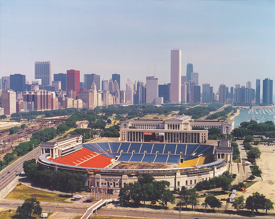
English: Aerial view of Soldier Field and the skyline of Chicago, Illinois, USA. |
|||
| 日期 | ||||
| 来源 |
U.S. Army Corps of Engineers Digital Visual Library Image page Image description page Digital Visual Library home page |
|||
| 作者 | Dale Fisher, U.S. Army Corps of Engineers | |||
| 授权 (二次使用本文件) |
|
|||
| 其他版本 | ||||
| 图中地点 | Chicago, Illinois, USA |
.jpg)
| 相机位置 | | 在以下服务上查看本图像和附近其他图像: OpenStreetMap |
|---|
文件历史
点击某个日期/时间查看对应时刻的文件。
| 日期/时间 | 缩略图 | 大小 | 用户 | 备注 | |
|---|---|---|---|---|---|
| 当前 | 2007年4月1日 (日) 00:26 | | 1,500 × 1,194(606 KB) | DanMS | {{Information | Description = {{en|Aerial view of Soldier Field and the skyline of Chicago, Illinois, USA.}} | Source = U.S. Army Corps of Engineers Digital Visual Library<br />[http://images.usace.army.mil/images/Hires/LRE0016.jpg Image page]< |
文件用途
以下2个页面使用本文件:
全域文件用途
以下其他wiki使用此文件:
- af.wikipedia.org上的用途
- als.wikipedia.org上的用途
- am.wikipedia.org上的用途
- ast.wikipedia.org上的用途
- bg.wikipedia.org上的用途
- bs.wikipedia.org上的用途
- ca.wikipedia.org上的用途
- de.wikipedia.org上的用途
- el.wikipedia.org上的用途
- en.wikipedia.org上的用途
- es.wikipedia.org上的用途
- fa.wikipedia.org上的用途
- fr.wikipedia.org上的用途
- fy.wikipedia.org上的用途
- he.wikipedia.org上的用途
- hi.wikipedia.org上的用途
- hu.wikipedia.org上的用途
- hy.wikipedia.org上的用途
- id.wikipedia.org上的用途
- it.wikipedia.org上的用途
- ja.wikipedia.org上的用途
- ka.wikipedia.org上的用途
- kn.wikipedia.org上的用途
- ko.wikipedia.org上的用途
查看本文件的更多全域用途。