
File:Christ Church, Hampstead Square, London NW3 - geograph.org.uk - 1678832.jpg
原始文件 (685 × 1,000像素,文件大小:124 KB,MIME类型:image/jpeg)
摘要
| 描述 |
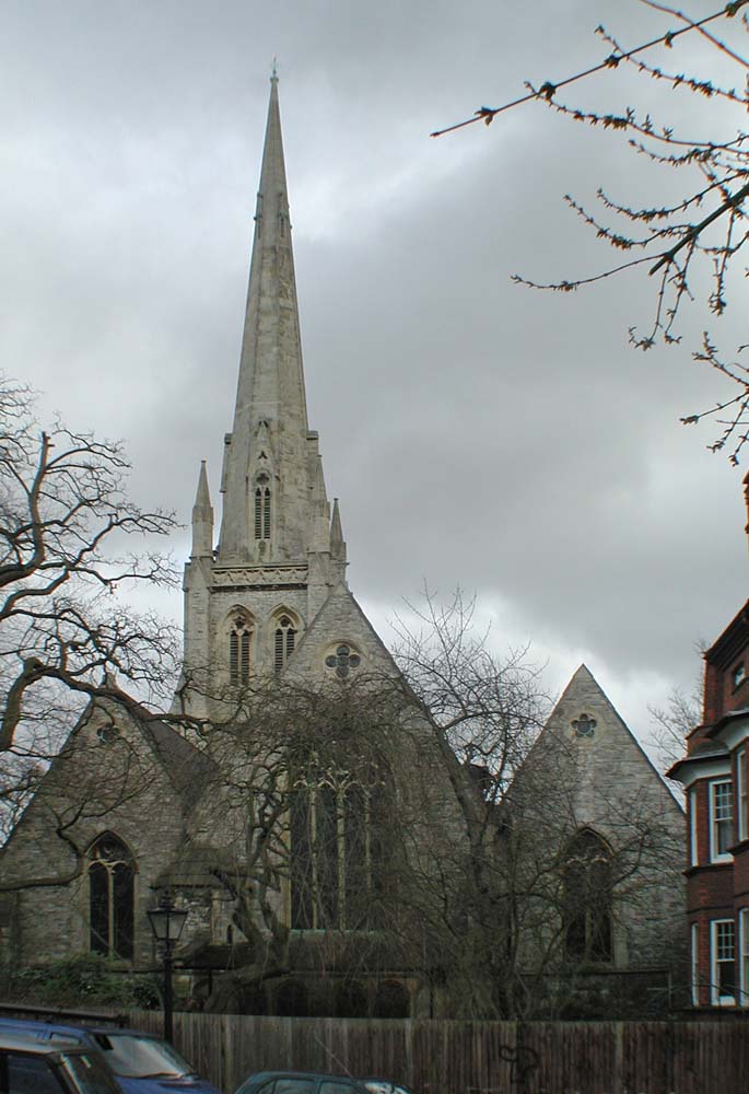
English: Christ Church, Hampstead Square, London NW3, CTYPE html PUBLIC "-//W3C//DTD XHTML 1.0 Strict//EN"
"http://www.w3.org/TR/xhtml1/DTD/xhtml1-strict.dtd"> <html xmlns="http://www.w3.org/1999/xhtml" xml:lang="en" id="geograph"> <head> <title>Christ Church, Hampstead Square, London NW3:: OS grid TQ2686 :: Geograph Britain and Ireland - photograph every grid square!</title> <meta http-equiv="Content-Type" content="text/html; charset=iso-8859-1" /> <meta name="description" content="TQ2686 :: Christ Church, Hampstead Square, London NW3, near to Hampstead, Camden, Great Britain" /> <meta name="ICBM" content="51.559779453365, -0.17626939176496"/> <meta name="DC.title" content="Geograph:: Christ Church, Hampstead Square, London NW3:: OS grid TQ2686"/> <link rel="stylesheet" type="text/css" title="Monitor" href="http://s1.geograph.org.uk/templates/basic/css/basic.v7747.css" media="screen" /> <link rel="shortcut icon" type="image/x-icon" href="http://s1.geograph.org.uk/favicon.ico"/> <link rel="alternate" type="application/vnd.google-earth.kml+xml" href="/photo/1678832.kml"/> <link rel="search" type="application/opensearchdescription+xml" title="Geograph Britain and Ireland search" href="/stuff/osd.xml" /> <script type="text/javascript" src="http://s1.geograph.org.uk/js/geograph.v7635.js"></script> </head> <body> <a title="Geograph home page" href="/">Geograph - photograph every grid square</a><a title="Grid Reference TQ2686 :: 296 images" href="/gridref/TQ2686">TQ2686</a> : Christ Church, Hampstead Square, London NW3near to Hampstead, Camden, Great Britain. |
| 日期 | |
| 来源 | From geograph.org.uk; transferred by User:andrewrabbott using geograph_org2commons. |
| 作者 | John Salmon |
| 授权 (二次使用本文件) |
Creative Commons Attribution Share-alike license 2.0 |
| 署名 (由许可协议要求) | John Salmon / Christ Church, Hampstead Square, London NW3 / |
| 物体位置 | | 在以下服务上查看本图像和附近其他图像: OpenStreetMap |
|---|
_region:GB-GBN_&language=zh)
许可协议

|
- 您可以自由地:
- 共享 – 复制、发行并传播本作品
- 修改 – 改编作品
- 惟须遵守下列条件:
- 署名 – 您必须对作品进行署名,提供授权条款的链接,并说明是否对原始内容进行了更改。您可以用任何合理的方式来署名,但不得以任何方式表明许可人认可您或您的使用。
- 相同方式共享 – 如果您再混合、转换或者基于本作品进行创作,您必须以与原先许可协议相同或相兼容的许可协议分发您贡献的作品。
文件历史
点击某个日期/时间查看对应时刻的文件。
| 日期/时间 | 缩略图 | 大小 | 用户 | 备注 | |
|---|---|---|---|---|---|
| 当前 | 2013年2月7日 (四) 09:53 | | 685 × 1,000(124 KB) | File Upload Bot (Magnus Manske) |
文件用途
以下页面使用本文件:
全域文件用途
以下其他wiki使用此文件:
- arz.wikipedia.org上的用途
- en.wikipedia.org上的用途
- www.wikidata.org上的用途