
File:Map washington county.jpg

本预览的尺寸:490 × 599像素。 其他分辨率:196 × 240像素 | 393 × 480像素 | 628 × 768像素 | 838 × 1,024像素 | 1,961 × 2,397像素。
原始文件 (1,961 × 2,397像素,文件大小:186 KB,MIME类型:image/jpeg)
摘要
| 描述 |
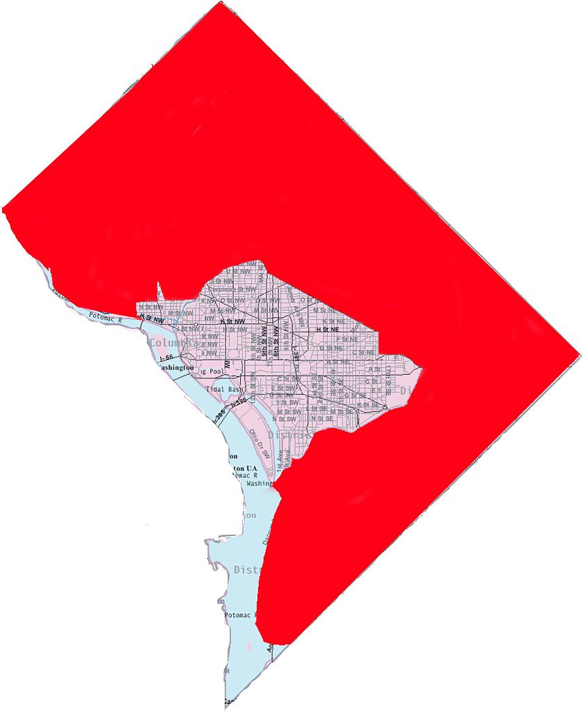
English: This image is a modified version of a self-generated reference map from the U.S. Census Bureau's American Factfinder at http://factfinder.census.gov/ by Wikipedia user Msclguru. |
| 日期 | 2007年2月21日 (原始上传日期) |
| 来源 | 本檔案是從en.wikipedia轉移到維基共享資源。 |
| 作者 | 英语维基百科的Msclguru |


许可协议
This image or file is a work of a United States Census Bureau employee, taken or made as part of that person's official duties. As a work of the U.S. federal government, the image is in the public domain.
|
 |
| 本作品已被作者英语维基百科的Msclguru释出到公有领域。这适用于全世界。 在一些国家这可能不合法;如果是这样的话,那么: Msclguru无条件地授予任何人以任何目的使用本作品的权利,除非这些条件是法律规定所必需的。 |
原始上传日志
原始描述頁面位於這裡。下列使用者名稱均來自en.wikipedia。
| 日期/时间 | 大小 | 用户 | 备注 |
|---|---|---|---|
| 2007-02-21 14:29 | 1961×2397× (190020 bytes) | Msclguru | This image is a modified version of a self-generated reference map from the [[U.S. Census Bureau]]'s American Factfinder at http://factfinder.census.gov/ by Wikipedia user [[User:Msclguru|Msclguru]]. {{PD-USGov}} |
文件历史
点击某个日期/时间查看对应时刻的文件。
| 日期/时间 | 缩略图 | 大小 | 用户 | 备注 | |
|---|---|---|---|---|---|
| 当前 | 2014年11月19日 (三) 17:57 | | 1,961 × 2,397(186 KB) | BD2412 | Transferred from en.wikipedia |
文件用途
以下页面使用本文件:
全域文件用途
以下其他wiki使用此文件:
- hu.wikipedia.org上的用途