
File:Clark House Russellville KY.png
没有更高的分辨率。
Clark_House_Russellville_KY.png (600 × 380像素,文件大小:398 KB,MIME类型:image/png)
摘要
| 描述 |
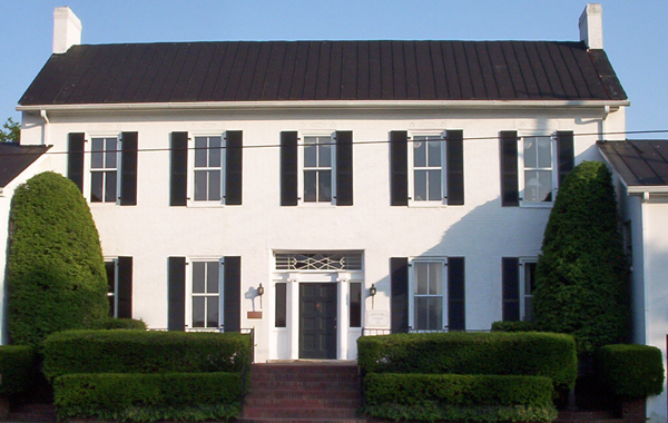
English: The William Forst House (also known as the Clark House) in Russellville, Kentucky. This was the location where Kentucky's Confederate Government was formed. It is part of the Russellville Historic District and is listed on the National Register of Historic Places |
| 日期 | 2007年5月26日 (原始上传日期) |
| 来源 |
Taken by user Acdixon in Russellville, KY on May 24, 2007 Transferred from en.wikipedia to Commons by Sreejithk2000 using CommonsHelper. |
| 作者 | 英语维基百科的Acdixon |
| 物体位置 | | 在以下服务上查看本图像和附近其他图像: OpenStreetMap |
|---|
许可协议
| 本作品已被作者英语维基百科的Acdixon释出到公有领域。这适用于全世界。 在一些国家这可能不合法;如果是这样的话,那么: Acdixon无条件地授予任何人以任何目的使用本作品的权利,除非这些条件是法律规定所必需的。 |
原始上传日志
The original description page was here. All following user names refer to en.wikipedia.
- 2007-05-26 14:07 Acdixon 600×380× (407900 bytes) Taken by user [[User:Acdixon|Acdixon]] in Russellville, KY on May 24, 2007
文件历史
点击某个日期/时间查看对应时刻的文件。
| 日期/时间 | 缩略图 | 大小 | 用户 | 备注 | |
|---|---|---|---|---|---|
| 当前 | 2010年6月2日 (三) 11:36 | | 600 × 380(398 KB) | File Upload Bot (Magnus Manske) | {{BotMoveToCommons|en.wikipedia|year={{subst:CURRENTYEAR}}|month={{subst:CURRENTMONTHNAME}}|day={{subst:CURRENTDAY}}}} {{Information |Description={{en|Taken by user Acdixon in Russellville, KY on May 24, 2007 [[:en:Category:Images o |
文件用途
以下2个页面使用本文件:
全域文件用途
以下其他wiki使用此文件:
- azb.wikipedia.org上的用途
- en.wikipedia.org上的用途
- pt.wikipedia.org上的用途
- vi.wikipedia.org上的用途
- www.wikidata.org上的用途