
File:Daraa districts.png
預覽大小:793 × 600 像素。 其他解析度:318 × 240 像素 | 635 × 480 像素 | 1,005 × 760 像素。
原始檔案 (1,005 × 760 像素,檔案大小:20 KB,MIME 類型:image/png)
摘要
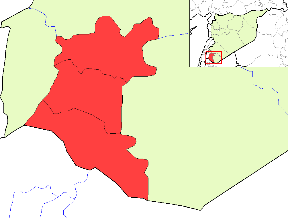
| 描述 | Map of the districts of Daraa governorate in Syria. | ||
| 日期 | |||
| 來源 | Created by Rarelibra 16:23, 8 May 2007 (UTC) for public domain use, using MapInfo Professional v8.5 and various mapping resources. | ||
| 作者 | Rarelibra | ||
| 授權許可 (重用此檔案) |
|
檔案歷史
點選日期/時間以檢視該時間的檔案版本。
| 日期/時間 | 縮圖 | 尺寸 | 使用者 | 備註 | |
|---|---|---|---|---|---|
| 目前 | 2007年5月8日 (二) 19:24 | | 1,005 × 760(20 KB) | Anas Salloum | modified with permission of original author |
| 2007年5月8日 (二) 16:23 |  | 1,056 × 816(20 KB) | Rarelibra | Map of the districts of Daraa governorate in Syria. Created by ~~~~ for public domain use, using MapInfo Professional v8.5 and various mapping resources. |
檔案用途
沒有使用此檔案的頁面。
全域檔案使用狀況
以下其他 wiki 使用了這個檔案:
- az.wikipedia.org 的使用狀況
- ca.wikipedia.org 的使用狀況
- en.wikipedia.org 的使用狀況
- es.wikipedia.org 的使用狀況
- fr.wikipedia.org 的使用狀況
- hy.wikipedia.org 的使用狀況
- ru.wikipedia.org 的使用狀況
- sv.wikipedia.org 的使用狀況
- www.wikidata.org 的使用狀況