
File:Žilina Region demis background map.png
預覽大小:778 × 600 像素。 其他解析度:312 × 240 像素 | 623 × 480 像素 | 996 × 768 像素 | 1,280 × 987 像素 | 1,357 × 1,046 像素。
原始檔案 (1,357 × 1,046 像素,檔案大小:1.18 MB,MIME 類型:image/png)
摘要
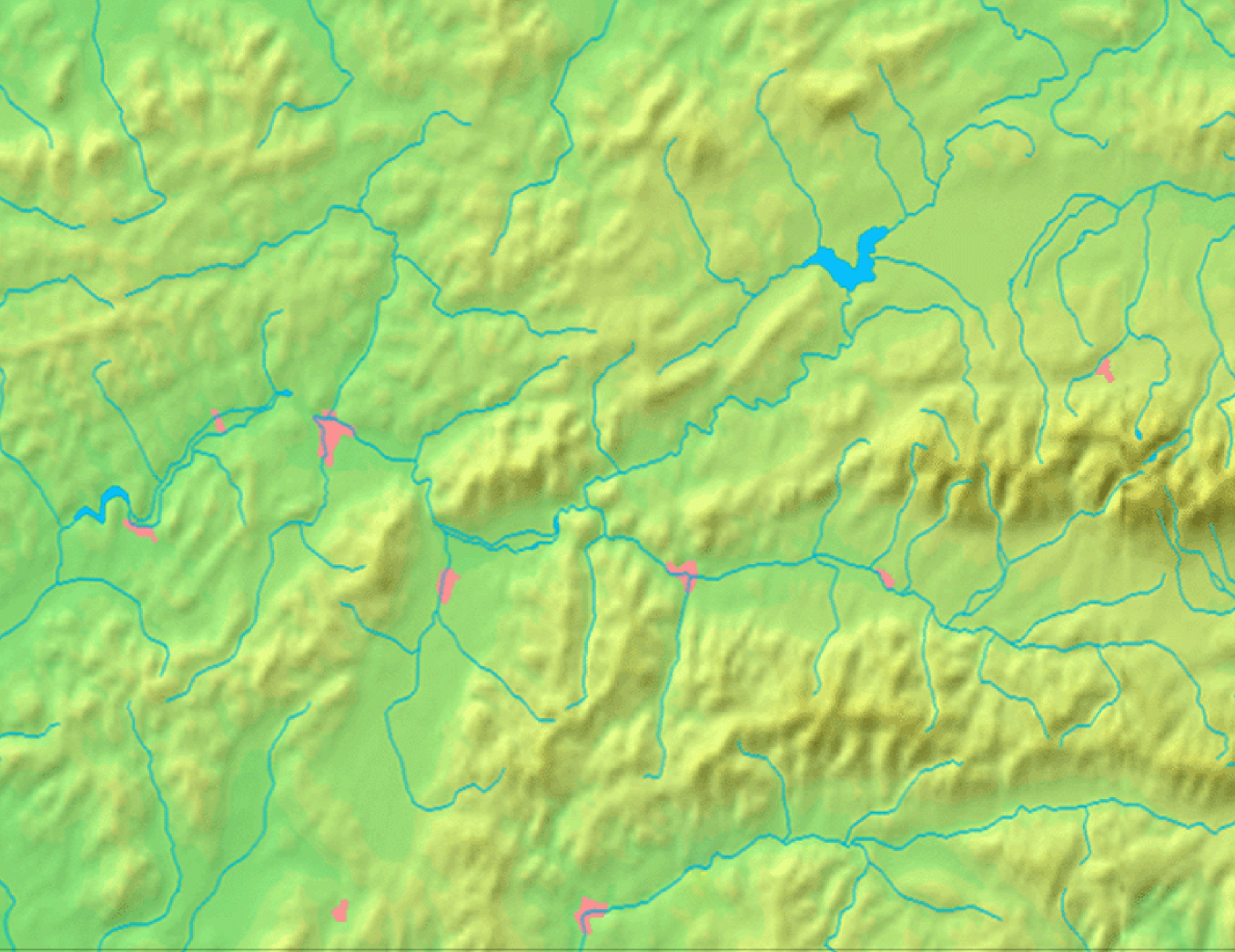
| 描述 | Background map of the Žilina Region, Slovakia, the same boundaries as Image:Žilina Region with districts map.svg | ||||
| 日期 | |||||
| 來源 | Made my myself from free maps available at www.demis.nl | ||||
| 作者 | Caroig | ||||
| 授權許可 (重用此檔案) |
|
檔案歷史
點選日期/時間以檢視該時間的檔案版本。
| 日期/時間 | 縮圖 | 尺寸 | 用戶 | 備註 | |
|---|---|---|---|---|---|
| 目前 | 2007年9月3日 (一) 08:40 | | 1,357 × 1,046(1.18 MB) | Caroig | == Summary == {{Information |Description=Background map of the Žilina Region, Slovakia, the same boundaries as Image:Žilina Region with districts map.png |SourceMade my myself from free maps available at www.demis.nl |Date=2007-09-03 |Author=[[:en: |
檔案用途
沒有使用此檔案的頁面。