
File:Greece municipalities.png

預覽大小:679 × 600 像素。 其他解析度:272 × 240 像素 | 543 × 480 像素 | 870 × 768 像素 | 1,159 × 1,024 像素 | 1,551 × 1,370 像素。
原始檔案 (1,551 × 1,370 像素,檔案大小:136 KB,MIME 類型:image/png)
摘要
| 描述 |
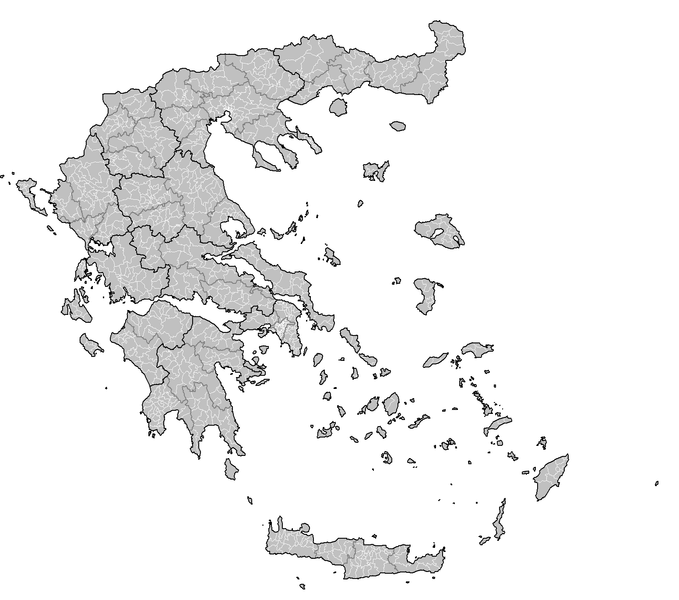
English: Map of the municipalities of Greece. |
| 日期 | |
| 來源 | 自己的作品 - created by Rarelibra 23:33, 4 October 2007 (UTC) for public domain use, using MapInfo Professional v8.5 and various mapping resources. |
| 作者 | Rarelibra |
授權條款
| 我,此作品的版權所有人,釋出此作品至公共領域。此授權條款在全世界均適用。 這可能在某些國家不合法,如果是的話: 我授予任何人有權利使用此作品於任何用途,除受法律約束外,不受任何限制。 |
檔案歷史
點選日期/時間以檢視該時間的檔案版本。
| 日期/時間 | 縮圖 | 尺寸 | 用戶 | 備註 | |
|---|---|---|---|---|---|
| 目前 | 2007年10月29日 (一) 13:44 | | 1,551 × 1,370(136 KB) | Rarelibra | current |
| 2007年10月5日 (五) 20:06 |  | 2,112 × 1,632(105 KB) | Rarelibra | ||
| 2007年10月5日 (五) 20:05 |  | 2,112 × 1,632(105 KB) | Rarelibra | Finished East Attica... | |
| 2007年10月5日 (五) 19:06 |  | 2,112 × 1,632(102 KB) | Rarelibra | updated map with corrections as noted from user Bogomolov.PL (and much thanks to his rather detailed critique!) | |
| 2007年10月4日 (四) 23:34 |  | 1,728 × 2,304(224 KB) | Rarelibra | Updated image size. | |
| 2007年10月4日 (四) 23:33 |  | 3,456 × 4,608(288 KB) | Rarelibra | Map of the municipalities of Greece. Created by ~~~~ for public domain use, using MapInfo Professional v8.5 and various mapping resources. NOTE: The map is incomplete due to the unavailable data for East Attica prefecture. This will be resolved soon. |
檔案用途
沒有使用此檔案的頁面。
全域檔案使用狀況
以下其他 wiki 使用了這個檔案:
- el.wikipedia.org 的使用狀況
- Κατάλογος δήμων ανά νομό (πρόγραμμα Καποδίστριας)
- Κατάλογος δήμων και κοινοτήτων Ελλάδας (πρόγραμμα Καποδίστριας)
- Σχέδιο «Καποδίστριας»
- Χρήστης:Costas78
- Βικιπαίδεια:Επιχείρηση Δήμοι της Ελλάδας
- Κοινότητα (τοπική αυτοδιοίκηση)
- Δημοτική ενότητα
- Βικιπαίδεια:Επιχείρηση Δήμοι της Ελλάδας/πρότυπο
- Χρήστης:KOSTASatWIKI
- Κατάλογος κοινοτήτων Ελλάδας ανά νομό 1999-2010
- el.wiktionary.org 的使用狀況
- en.wikipedia.org 的使用狀況
- fi.wikipedia.org 的使用狀況
- sr.wikipedia.org 的使用狀況