
File:Gulf of Tonkin.jpg
預覽大小:800 × 428 像素。 其他解析度:320 × 171 像素 | 640 × 342 像素 | 1,024 × 548 像素 | 1,280 × 685 像素 | 2,560 × 1,370 像素 | 5,912 × 3,163 像素。
原始檔案 (5,912 × 3,163 像素,檔案大小:2.53 MB,MIME 類型:image/jpeg)
摘要
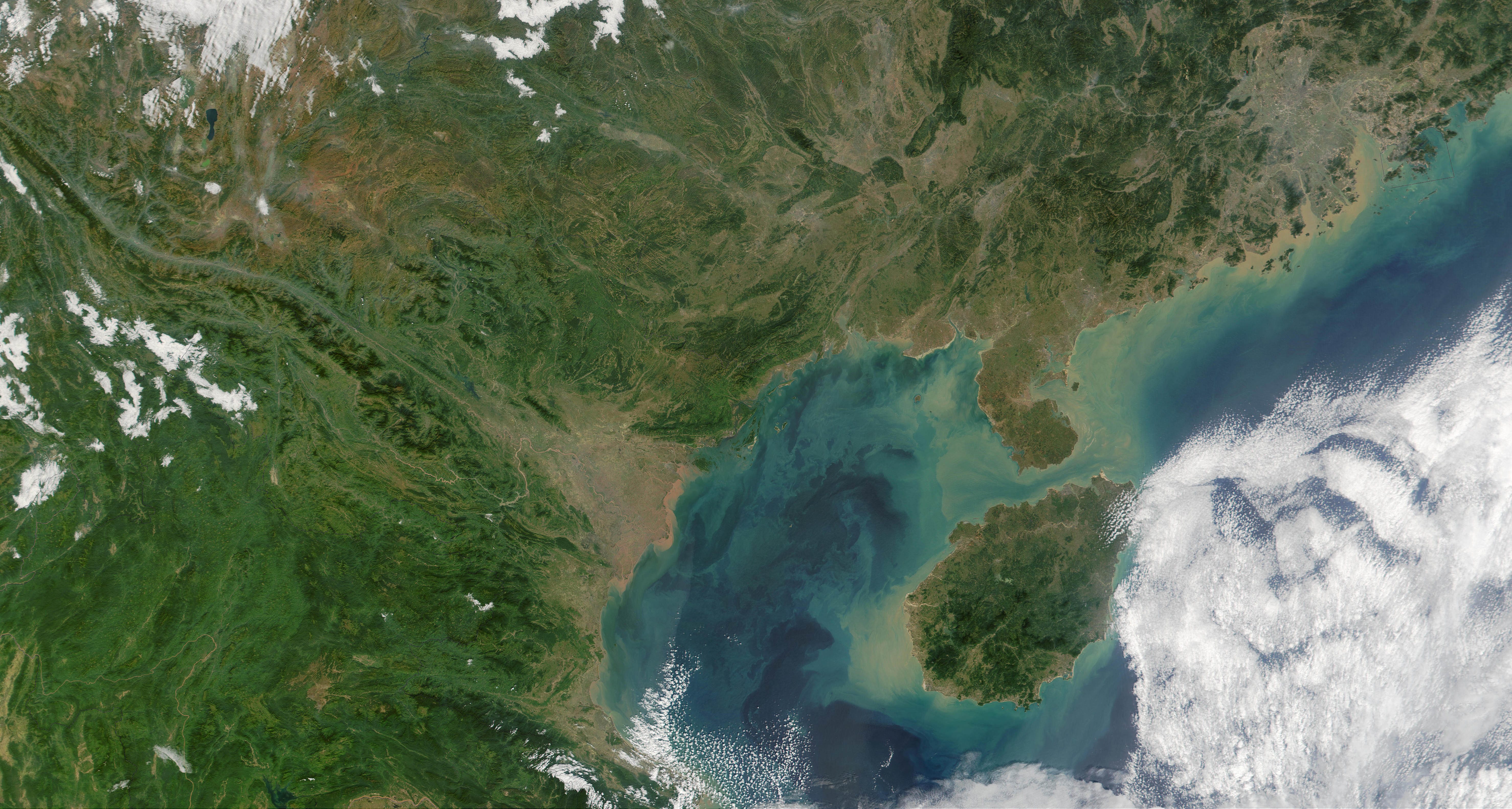
| 描述 | Satelite image of Gulf of Tonkin. |
| 日期 | |
| 來源 | NASA Visible Earth. cropped from http://visibleearth.nasa.gov/view_rec.php?id=2301 |
| 作者 | NASA |
| 其他版本 |
.jpg)
授權條款
| 本作品由NASA創作,屬於公有領域。根據NASA的版權政策:“NASA的創作除非另有聲明否則不受版權保護。”(參見:Template:PD-USGov/zh,NASA版權政策或JPL圖像使用政策) | ||
 |
警告:
|
檔案歷史
點選日期/時間以檢視該時間的檔案版本。
| 日期/時間 | 縮圖 | 尺寸 | 用戶 | 備註 | |
|---|---|---|---|---|---|
| 目前 | 2013年6月22日 (六) 15:47 | | 5,912 × 3,163(2.53 MB) | Earth100 | Higher resolution, KOREAN! |
| 2007年8月25日 (六) 11:10 |  | 706 × 602(175 KB) | ChongDae | {{Information |Description=Satelite image of Leizhou Peninsula. |Source=NASA Visible Earth. cropped from http://visibleearth.nasa.gov/view_rec.php?id=2301 |Date=2001-11-16 |Author=NASA |Permission= |other_versions= }} == Licensi |
檔案用途
下列頁面有用到此檔案:
全域檔案使用狀況
以下其他 wiki 使用了這個檔案:
- af.wikipedia.org 的使用狀況
- az.wikipedia.org 的使用狀況
- be.wikipedia.org 的使用狀況
- bg.wikipedia.org 的使用狀況
- bn.wikipedia.org 的使用狀況
- br.wikipedia.org 的使用狀況
- ca.wikipedia.org 的使用狀況
- cy.wikipedia.org 的使用狀況
- de.wiktionary.org 的使用狀況
- el.wikipedia.org 的使用狀況
- en.wikipedia.org 的使用狀況
- eo.wikipedia.org 的使用狀況
- es.wikipedia.org 的使用狀況
- et.wikipedia.org 的使用狀況
- eu.wikipedia.org 的使用狀況
- fi.wikipedia.org 的使用狀況
- fr.wikipedia.org 的使用狀況
- he.wikipedia.org 的使用狀況
- hy.wikipedia.org 的使用狀況
- ilo.wikipedia.org 的使用狀況
- it.wikipedia.org 的使用狀況
- ja.wikipedia.org 的使用狀況
- km.wikipedia.org 的使用狀況
- ko.wikipedia.org 的使用狀況
- lt.wikipedia.org 的使用狀況
- mzn.wikipedia.org 的使用狀況
- nl.wikipedia.org 的使用狀況
- nn.wikipedia.org 的使用狀況
- no.wikipedia.org 的使用狀況
- pl.wikipedia.org 的使用狀況
- pl.wiktionary.org 的使用狀況
- pt.wikipedia.org 的使用狀況
- sl.wikipedia.org 的使用狀況
- sr.wikipedia.org 的使用狀況
- sv.wikipedia.org 的使用狀況
- tl.wikipedia.org 的使用狀況
- uk.wikipedia.org 的使用狀況
- vi.wikipedia.org 的使用狀況
- www.wikidata.org 的使用狀況
- zh-yue.wikipedia.org 的使用狀況