
File:Bhutan relief location map.jpg

預覽大小:800 × 522 像素。 其他解析度:320 × 209 像素 | 640 × 417 像素 | 874 × 570 像素。
原始檔案 (874 × 570 像素,檔案大小:361 KB,MIME 類型:image/jpeg)
摘要
| 描述 |
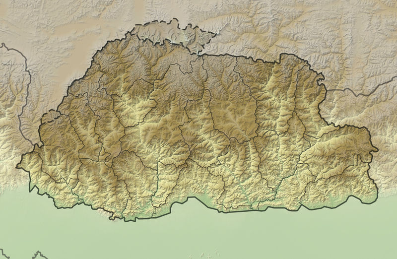
Deutsch: Positionskarte von Bhutan
Quadratische Plattkarte, N-S-Streckung 115 %. Geographische Begrenzung der Karte:
English: Location map of Bhutan
Equirectangular projection, N/S stretching 115 %. Geographic limits of the map:
|
|
| 日期 | ||
| 來源 |
own work, using
|
|
| 作者 | NordNordWest | |
| 授權許可 (重用此檔案) |
此檔案採用創用CC 姓名標示-相同方式分享 3.0 德國授權條款。
 此檔案採用創用CC 姓名標示-相同方式分享 3.0 德國授權條款。
|
|
| 其他版本 |
|


|
|
檔案歷史
點選日期/時間以檢視該時間的檔案版本。
| 日期/時間 | 縮圖 | 尺寸 | 用戶 | 備註 | |
|---|---|---|---|---|---|
| 目前 | 2011年12月2日 (五) 19:06 | | 874 × 570(361 KB) | NordNordWest | == {{int:filedesc}} == {{Information |Description= {{de|Positionskarte von Bhutan}} Quadratische Plattkarte, N-S-Streckung 115 %. Geographische Begrenzung der Karte: * N: 28.5° N * S: 26.4° N * W: 88.6° O * O: 92.3° O {{en|Location map |
檔案用途
下列5個頁面有用到此檔案:
全域檔案使用狀況
以下其他 wiki 使用了這個檔案:
- ar.wikipedia.org 的使用狀況
- ast.wikipedia.org 的使用狀況
- ba.wikipedia.org 的使用狀況
- be.wikipedia.org 的使用狀況
- bn.wikipedia.org 的使用狀況
- bs.wikipedia.org 的使用狀況
- ceb.wikipedia.org 的使用狀況
- ce.wikipedia.org 的使用狀況
- ckb.wikipedia.org 的使用狀況
- cs.wikipedia.org 的使用狀況
- de.wikivoyage.org 的使用狀況
- dsb.wikipedia.org 的使用狀況
- el.wikipedia.org 的使用狀況
- en.wikipedia.org 的使用狀況
- eo.wikipedia.org 的使用狀況
- Gangkhar Puensum
- Ŝablono:Situo sur mapo Butano
- Distrikto Ĉuĥa
- Distrikto Haa
- Distrikto Paro
- Distrikto Samce
- Distrikto Timbuo
- Distrikto Lhunce
- Distrikto Mongar
- Distrikto Pemagatŝel
- Distrikto Samdrup Jongĥar
- Distrikto Traŝigang
- Distrikto Traŝijangste
- Distrikto Dagana
- Distrikto Gasa
- Distrikto Punaĥa
- Distrikto Cirang
- Distrikto Bumthang
- Distrikto Sarpang
- Distrikto Trongsa
檢視此檔案的更多全域使用狀況。