
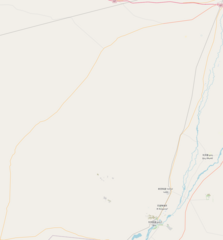
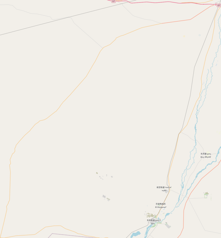
File:Dongfeng spacecraft landing site.png

預覽大小:558 × 600 像素。 其他解析度:223 × 240 像素 | 447 × 480 像素 | 715 × 768 像素 | 1,123 × 1,207 像素。
原始檔案 (1,123 × 1,207 像素,檔案大小:140 KB,MIME 類型:image/png)
摘要
| 描述 |
English: Dongfeng spacecraft landing site
|
| 日期 | |
| 來源 | OpenStreetMap |
| 作者 | OpenStreetMap contributors |
授權條款
| This work contains information from OpenStreetMap, which is made available under the Open Database License (ODbL).
The ODbL does not require any particular license for maps produced from ODbL data. Prior to 1 August 2020, map tiles produced by the OpenStreetMap Foundation were licensed under the CC-BY-SA-2.0 license. Maps produced by other people may be subject to other licences. |
檔案歷史
點選日期/時間以檢視該時間的檔案版本。
| 日期/時間 | 縮圖 | 尺寸 | 用戶 | 備註 | |
|---|---|---|---|---|---|
| 目前 | 2023年9月12日 (二) 01:43 | | 1,123 × 1,207(140 KB) | Fuyo21 | Uploaded a work by OpenStreetMap contributors from OpenStreetMap with UploadWizard |
檔案用途
下列3個頁面有用到此檔案: