
File:Landshut, Germany Landsat 2000.png
預覽大小:800 × 527 像素。 其他解析度:320 × 211 像素 | 640 × 421 像素 | 992 × 653 像素。
原始檔案 (992 × 653 像素,檔案大小:1.35 MB,MIME 類型:image/png)
| 描述 |
|
|||
| 來源 | NASA Worldwind | |||
| 作者 | 相片: NASA | |||
| 授權許可 (重用此檔案) |
|

檔案歷史
點選日期/時間以檢視該時間的檔案版本。
| 日期/時間 | 縮圖 | 尺寸 | 用戶 | 備註 | |
|---|---|---|---|---|---|
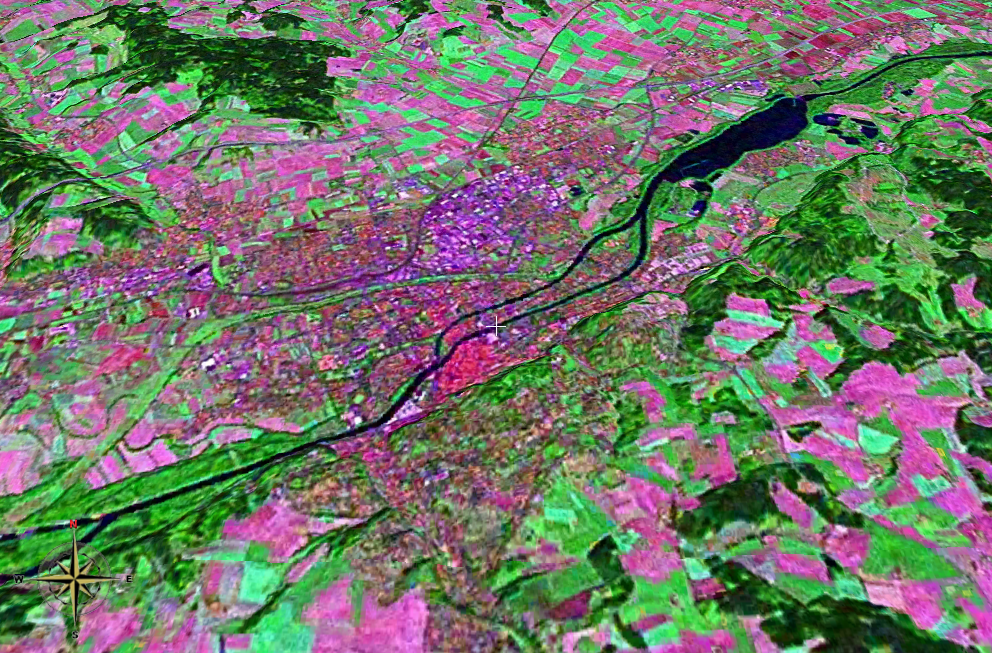
| 目前 | 2006年11月25日 (六) 18:20 | | 992 × 653(1.35 MB) | 2000 | {{Information |Description= *Landsat 2000 satellite image of Landshut, Lower Bavaria, Germany heading north, using NASA Worldwind software; *Latitude:48.54064°N, Longitude:12.15672°E *Tilt: 45° |Source=NASA Worldwind |Date= |Author= |Permission={{PD-W |
| 2006年11月25日 (六) 18:14 |  | 992 × 653(1.35 MB) | 2000 | {{Information |Description= *Landsat 2000 satellite image of Landshut, Lower Bavaria, Germany heading north, using NASA Worldwind software; *Latitude:48.54064°N, Longitude:12.15672°E *Tilt: 45° |Source=NASA Worldwind |Date= |Author= |Permission={{PD-W |
檔案用途
下列頁面有用到此檔案:
全域檔案使用狀況
以下其他 wiki 使用了這個檔案: