
File:Mexico Chihuahua location map.svg

此 SVG 檔案的 PNG 預覽的大小:532 × 600 像素。 其他解析度:213 × 240 像素 | 426 × 480 像素 | 681 × 768 像素 | 908 × 1,024 像素 | 1,817 × 2,048 像素 | 2,176 × 2,453 像素。
原始檔案 (SVG 檔案,表面大小:2,176 × 2,453 像素,檔案大小:805 KB)
W3C-validity not checked.
| 描述 |
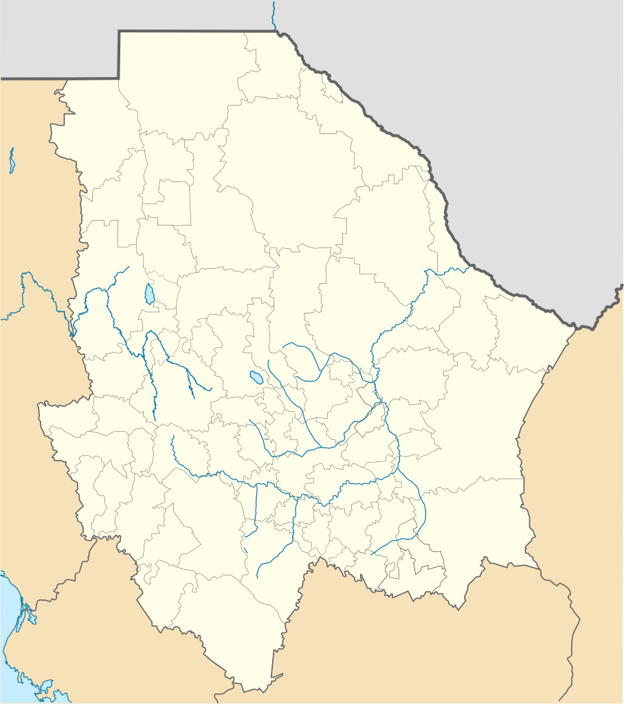
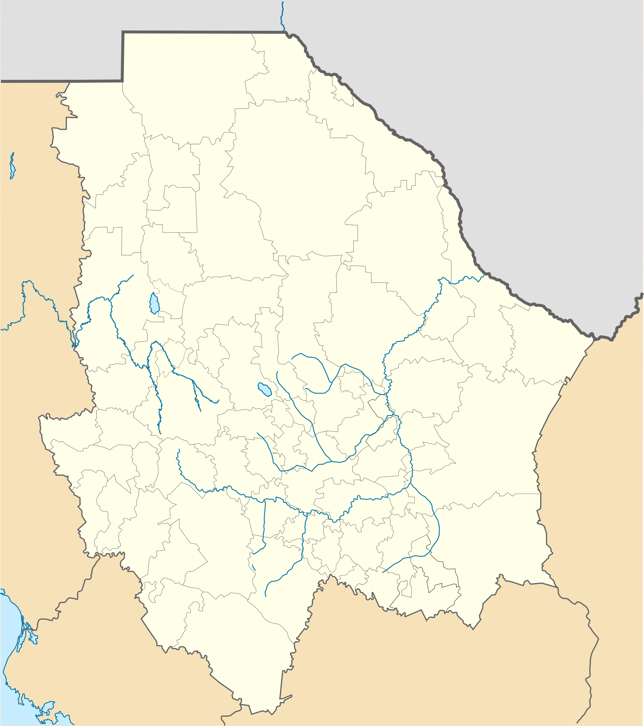
Location Map of Chihuahua Equirectangular projection, Geographic limits of the map:
|
| 日期 | |
| 來源 | 自己的作品 |
| 作者 | Battroid (talk) |
我,本作品的著作權持有者,決定用以下授權條款發佈本作品:
| 我,此作品的版權所有人,釋出此作品至公共領域。此授權條款在全世界均適用。 這可能在某些國家不合法,如果是的話: 我授予任何人有權利使用此作品於任何用途,除受法律約束外,不受任何限制。 |
檔案歷史
點選日期/時間以檢視該時間的檔案版本。
| 日期/時間 | 縮圖 | 尺寸 | 用戶 | 備註 | |
|---|---|---|---|---|---|
| 目前 | 2012年11月4日 (日) 23:15 | | 2,176 × 2,453(805 KB) | Battroid | {{ValidSVG}} {{Information |Description=Location Map of Chihuahua Equirectangular projection, Geographic limits of the map: * N: 32.03° N * S: 25.45° N * W: 109.47° W * E: 102.82° W |Source={{own work}} |Date=2011-08-21 |Author=[[... |
| 2012年3月5日 (一) 07:06 |  | 2,176 × 2,453(728 KB) | Battroid | {{ValidSVG}} {{Information |Description=Location Map of Chihuahua Equirectangular projection, Geographic limits of the map: * N: 32.03° N * S: 25.45° N * W: 109.47° W * E: 102.82° W |Source={{own work}} |Date=2011-08-21 |Author=[[... | |
| 2011年8月21日 (日) 19:44 |  | 2,176 × 2,453(721 KB) | Battroid | {{ValidSVG}} {{Information |Description=Location Map of Chihuahua Equirectangular projection, Geographic limits of the map: * N: 32.03° N * S: 25.45° N * W: 109.47° W * E: 102.82° W |Source={{own work}} |Date=2011-08-21 |Author=[[Use |
檔案用途
下列頁面有用到此檔案:
全域檔案使用狀況
以下其他 wiki 使用了這個檔案:
- ar.wikipedia.org 的使用狀況
- bg.wikipedia.org 的使用狀況
- ceb.wikipedia.org 的使用狀況
- ce.wikipedia.org 的使用狀況
- de.wikipedia.org 的使用狀況
- Chihuahua (Stadt)
- Barranca del Cobre
- Ciudad Juárez
- Nuevo Casas Grandes
- Parral (Chihuahua)
- Ojinaga
- Cuauhtémoc (Chihuahua)
- Wikipedia:Kartenwerkstatt/Positionskarten/Nordamerika
- Estadio Monumental Chihuahua
- Estadio Olímpico Benito Juárez
- Naica
- Creel
- Meoqui
- Vorlage:Positionskarte Mexiko Chihuahua
- Cerro Mohinora
- Nationalpark Cumbres de Majalca
- Batopilas
- Valle de Allende
- Estadio Olímpico Universitario José Reyes Baeza
- Casas Grandes
- en.wikipedia.org 的使用狀況
- Copper Canyon
- Ciudad Juárez
- Parral, Chihuahua
- Ciudad Madera
- Camargo, Chihuahua
- Chihuahua International Airport
- Ciudad Juárez International Airport
- Delicias, Chihuahua
- Batopilas, Chihuahua
- User:Stone/MPS
- Lake Arareco
- Puerto Palomas, Chihuahua
- Batopilas Municipality
- Santa Bárbara, Chihuahua
- Guachochi
- Carichí
- Témoris
- Huejotitán
檢視此檔案的更多全域使用狀況。