
File:Ottoman Administrative Structure-1900.png

預覽大小:800 × 520 像素。 其他解析度:320 × 208 像素 | 640 × 416 像素 | 1,024 × 666 像素 | 1,260 × 819 像素。
原始檔案 (1,260 × 819 像素,檔案大小:1.86 MB,MIME 類型:image/png)
摘要
| 描述 |
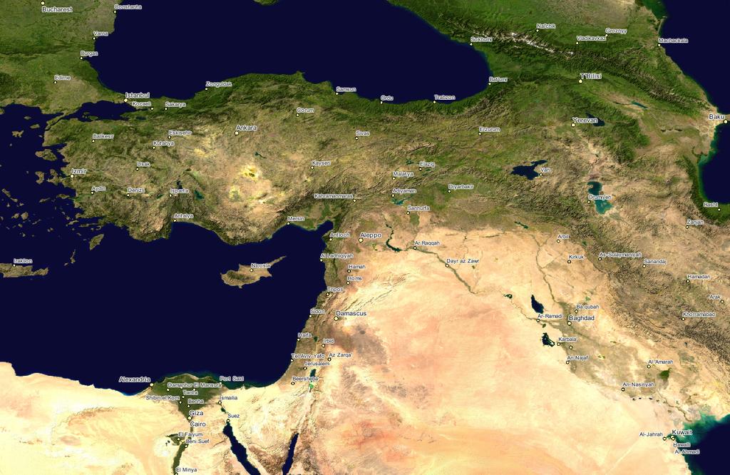
English: NASA Image; cropped to show the Ottoman Empire during 1900.
|
|||||
| 日期 | 日期不明 | |||||
| 來源 | GLOBE at Night | |||||
| 作者 | NASA | |||||
| 授權許可 (重用此檔案) |
|

原始上傳日誌
The original description page was here. All following user names refer to en.wikipedia.
| 日期/時間 | 尺寸 | 用戶 | 備註 |
|---|---|---|---|
| 2006-03-26 22:46 | 1260×819× (1951924 bytes) | TuranGunes | Nasa Image; croped to show the Ottoman Empire during 1900. |
檔案歷史
點選日期/時間以檢視該時間的檔案版本。
| 日期/時間 | 縮圖 | 尺寸 | 用戶 | 備註 | |
|---|---|---|---|---|---|
| 目前 | 2017年1月14日 (六) 16:23 | | 1,260 × 819(1.86 MB) | Taiwania Justo | Transferred from en.wikipedia |
檔案用途
下列頁面有用到此檔案:
全域檔案使用狀況
以下其他 wiki 使用了這個檔案:
- en.wikipedia.org 的使用狀況