
File:Germany location map.svg

此SVG文件的PNG预览的大小:506 × 600像素。 其他分辨率:202 × 240像素 | 405 × 480像素 | 648 × 768像素 | 864 × 1,024像素 | 1,728 × 2,048像素 | 1,073 × 1,272像素。
原始文件 (SVG文件,尺寸为1,073 × 1,272像素,文件大小:452 KB)
摘要
| 描述 |
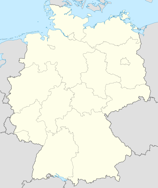
Quadratische Plattkarte, N-S-Streckung 150 %. Geographische Begrenzung der Karte:
Equirectangular projection, N/S stretching 150 %. Geographic limits of the map:
Français : Carte de l'Allemagne |
| 日期 | |
| 来源 | 自己的作品, using United States National Imagery and Mapping Agency data |
| 作者 | NordNordWest |
| 其他版本 |
此文件衍生的作品:
Bundesrepublik Deutschland (vor 1990 nur West-Deutschland):
Deutsche Demokratische Republik (mit BRD im Ausschnitt):
Ostdeutschland (vor 1990 Deutsche Demokratische Republik):
Deutschland zwischen Mai 1945 und Oktober 1949:
Thematisch:
Deutsches Reich (1918–1945) (best used with this template (de)):
|
| SVG开发 |


_23_May_1949_-_6_Oct_1949.svg)


_location_map.svg)
_location_map_2013.svg)


_location_map.svg)
许可协议
我,本作品著作权人,特此采用以下许可协议发表本作品:

|
已授权您依据自由软件基金会发行的无固定段落及封面封底文字(Invariant Sections, Front-Cover Texts, and Back-Cover Texts)的GNU自由文件许可协议1.2版或任意后续版本的条款,复制、传播和/或修改本文件。该协议的副本请见“GNU Free Documentation License”。 |
本文件采用知识共享署名-相同方式共享 3.0 未本地化版本许可协议授权。
- 您可以自由地:
- 共享 – 复制、发行并传播本作品
- 修改 – 改编作品
- 惟须遵守下列条件:
- 署名 – 您必须对作品进行署名,提供授权条款的链接,并说明是否对原始内容进行了更改。您可以用任何合理的方式来署名,但不得以任何方式表明许可人认可您或您的使用。
- 相同方式共享 – 如果您再混合、转换或者基于本作品进行创作,您必须以与原先许可协议相同或相兼容的许可协议分发您贡献的作品。
您可以选择您需要的许可协议。
文件历史
点击某个日期/时间查看对应时刻的文件。
| 日期/时间 | 缩略图 | 大小 | 用户 | 备注 | |
|---|---|---|---|---|---|
| 当前 | 2013年9月16日 (一) 12:51 | | 1,073 × 1,272(452 KB) | SokoWiki | Clearer borders. |
| 2013年9月16日 (一) 08:34 |  | 1,073 × 1,272(452 KB) | NordNordWest | Reverted to version as of 12:32, 2 October 2012; didn't make anything better | |
| 2013年9月16日 (一) 08:34 |  | 1,073 × 1,272(452 KB) | NordNordWest | Reverted to version as of 12:32, 2 October 2012; didn't make anything better | |
| 2013年9月15日 (日) 20:08 |  | 1,073 × 1,272(451 KB) | SokoWiki | * | |
| 2012年10月2日 (二) 12:32 |  | 1,073 × 1,272(452 KB) | Palosirkka | Reverted to version as of 20:14, 5 August 2012 Location maps must remain very accurate | |
| 2012年10月2日 (二) 05:40 |  | 1,073 × 1,272(396 KB) | Palosirkka | Scrubbed with http://codedread.com/scour/ | |
| 2012年8月5日 (日) 20:14 |  | 1,073 × 1,272(452 KB) | NordNordWest | upd | |
| 2010年1月19日 (二) 10:03 |  | 1,073 × 1,272(490 KB) | NordNordWest | update | |
| 2009年7月22日 (三) 08:33 |  | 1,075 × 1,273(608 KB) | NordNordWest | c | |
| 2008年10月13日 (一) 14:36 |  | 1,075 × 1,273(606 KB) | NordNordWest |
文件用途
以下页面使用本文件:
全域文件用途
以下其他wiki使用此文件:
- af.wikipedia.org上的用途
- als.wikipedia.org上的用途
- Weil der Stadt
- Schopfheim
- Rheinfelden (Baden)
- Rümmingen
- Lörrach
- Kehl
- Steinen (Baden)
- Weil am Rhein
- Bad Säckingen
- Freiburg im Breisgau
- Schwörstadt
- Augsburg
- Zell im Wiesental
- Maulburg
- Offenburg
- Ötigheim
- Hamburg
- Renchen
- Konstanz
- Furtwangen im Schwarzwald
- Görwihl
- Ebringen
- Müllheim im Markgräflerland
- Pfaffenweiler
- Calw
- Au (Breisgau)
- Merzhausen
- Sölden (Schwarzwald)
- Schallstadt
- Bollschweil
- Ehrenkirchen
- Wittnau (Breisgau)
- Vörstetten
- Achern
- Wehr (Baden)
- Vogtsburg im Kaiserstuhl
查看本文件的更多全域用途。