
File:World98.svg

此SVG文件的PNG预览的大小:800 × 386像素。 其他分辨率:320 × 154像素 | 640 × 309像素 | 1,024 × 494像素 | 1,280 × 617像素 | 2,560 × 1,235像素 | 8,000 × 3,859像素。
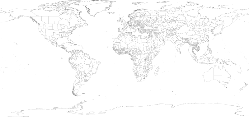
原始文件 (SVG文件,尺寸为8,000 × 3,859像素,文件大小:9.3 MB)

NOTE!
This file is HUGE. It cannot open in inkscape with 2GB of memory, or probably with 4GB either (however, gimp or a similar program should be able to generate a thumbnail without keeping the whole image in core). In other words, you will most likely be unable to open this on a 32-bit computer. It is only intended for use by other wiki map geeks to generate smaller SVG maps of countries and regions. Also note that, whenever possible it is better to use one of the continental maps that came from the same source, as they are more usable (won't eat all your system memory) and more precise (16 digits instead of 12):
- Image:africa98.svg
- Image:asia98.svg
- Image:europe98.svg
- Image:south_america98.svg
- Image:oceania98.svg
- Image:north_america98.svg
摘要
| 描述 | 1998 World map with first level administrative units. |
| 日期 | |
| 来源 | world98.shp from the US CDC [1] |
| 作者 | Translated to SVG by User:Brianski |
| 其他版本 |
|
| SVG开发 |

TODO
- Find the right projection for and generate an antarctica98.svg
- Some submaps that don't follow continental boundaries might be handy, e.g. carribean98.svg, middle_east98.svg, mediterranean98.svg, se_asia_and_australia98.svg, etc.
- Fix blips in USA (Utah, PA, Michigan, etc.), west Antarctica. change background color so these blips are more obvious and thus easier to fix.
- Also group properly. IE: There shouldn't be >50 seperate USA groups for each state/territory, instead they should be nested together in a common USA group.
- Make copies of this map with country borders shown in darker lines.
- The territory of Nunavut was formed in 1999, giving Canada three territories in the north - not the 2 displayed here.
Generation Notes
perl xml2svg.pl -P12 --proj=cylindrical_equidistant:0,0.793353340291235 -x8000 world98
许可协议
|
|
文件历史
点击某个日期/时间查看对应时刻的文件。
| 日期/时间 | 缩略图 | 大小 | 用户 | 备注 | |
|---|---|---|---|---|---|
| 当前 | 2018年6月28日 (四) 17:18 | | 8,000 × 3,859(9.3 MB) | JoKalliauer | fixed 2735 W3C-erros (now valid); removed Category:SVG files with multiple W3C-errors |
| 2007年10月21日 (日) 05:45 |  | 8,000 × 3,859(18.89 MB) | Brianski | fix greenland bug | |
| 2007年10月21日 (日) 04:35 |  | 8,000 × 3,859(18.89 MB) | Brianski | use 8000 width (instead of 800) so that borders aren't so huge | |
| 2007年10月21日 (日) 04:16 |  | 512 × 247(18.89 MB) | Brianski | Switch to equidistant cylindrical projection @37.5 degrees (aka first miller equidistant cylindrical projection - http://mathworld.wolfram.com/MillerEquidistantProjection.html) | |
| 2007年10月21日 (日) 03:25 |  | 512 × 499(18.89 MB) | Brianski | {{Information |Description=1998 World map with first level administrative units. |Source=world98.shp from the en:CDC [http://www.cdc.gov/epiinfo/documents/shapes.doc] |Date=2007/10/20 |Author=Translated to SVG by User:Brianski }} |
文件用途
以下页面使用本文件:
全域文件用途
以下其他wiki使用此文件:
- en.wikipedia.org上的用途
- uk.wikipedia.org上的用途